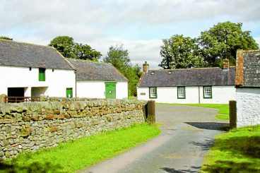


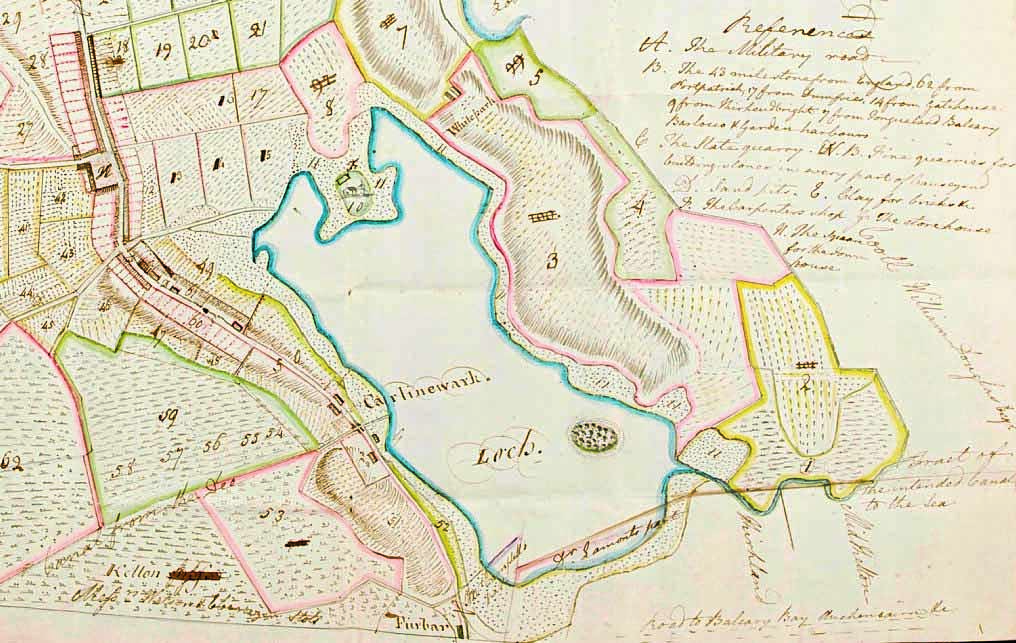
The DAMP project was established to digitise as many pre-Ordnance
Survey maps and estate plans of Dumfries and Galloway as possible, concentrating on 18th century hand-drawn cartography. There are several hundred of these maps still in existence and they offer,
in fine detail, a totally novel look at history, geography and society.
DAMP oversees a team of volunteer ‘map-hunters’ as they search out old maps across the region.
The maps of interest are often hidden away in drawers or on walls and, using cutting-edge scanning techniques, are digitised and uploaded to the National Library of Scotland map viewer.
DAMP map-hunter-in-chief Archie McConnel said: “This is great! Talk about a team effort! We are always hugely appreciative of the work that the NLS maps department do in giving the maps we copy a wider existence than they did before.
“We should also send our thanks to Graham Roberts for cataloguing this block of work and indeed the Galloway Glens for their continued support. Most of all, I would like to thank all the various map owners for allowing their property to be copied in this way for without them nothing at all could have happened.
“With this volume of maps we can start to accurately see how patterns of land change emerge and indeed why. So please note we are always on the lookout for further maps to copy in order to fill in even more of those gaps.”
Chris Fleet, map curator at the National Library of Scotland, added: “We are extremely grateful to DAMP for tracking down and scanning these uniquely important estate plans. Through the ongoing work of DAMP, there are now more online estate maps for Dumfries and Galloway than for any other area, not just in Scotland, but in the whole United Kingdom.
“These estate maps are a treasure-trove of information about the historic landscape, especially before the arrival of Ordnance Survey in the mid-19th century. They are always the most popular early map consulted on our website, as they are so useful for many aspects of local history.”
* To access the maps, visit the National Library of Scotland (NLS) mapping website at https://maps.nls.uk/.