

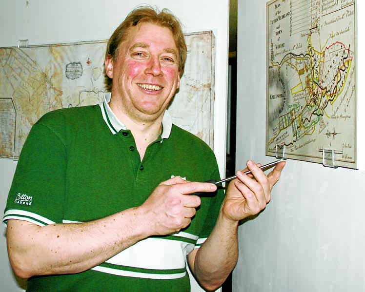
NSTALLING . . . museum attendant JP Barty with some of the replica maps printed from the digital files created by the project
The fragile maps, many of which are over 200 years old, have been made available for public view by the Dumfries Archival Mapping Project (DAMP).
Hand drawn and pre-Ordnance Survey, they demonstrate a level of skill and accuracy that still amazes today. Compared to a current satellite image of Eliock Estate, the 1767 map of 2400 hectares of hilly terrain, surveyed using basic tools, is accurate to five metres.
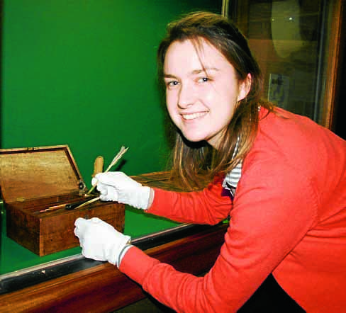
The maps come from public and private collections and the originals are being photographed or scanned to create digital copies and are going onto the National Library of Scotland website.
They show the transition from one type of agriculture to the more enclosed system of fields surrounded by walls and hedges that we see today.
They also document road building to New Abbey and the industrial landscape of Wanlockhead.
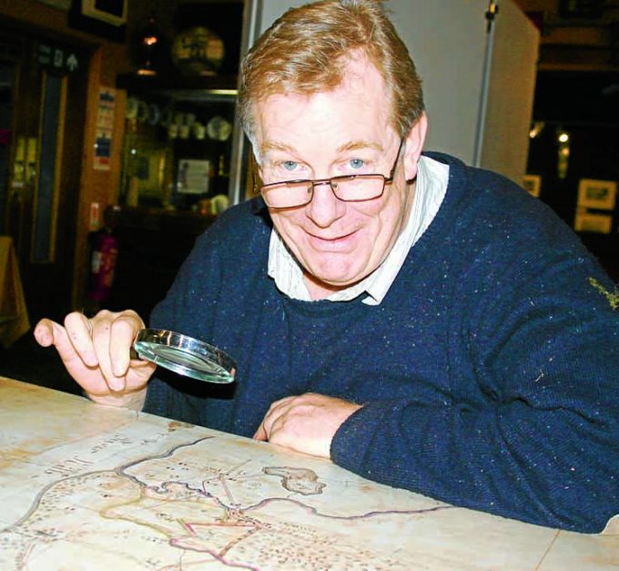
DAMP member Archie McConnel said: “Burns wrote ‘Rigs o’ Barley’ in 1783, around the time when many of these were drawn. Rigs were a feature of the landscape that had slowly begun to change. The landscape of the larger estates was being mapped in order to plan future changes.
“The basis of today’s landscape has changed little but tree planting and modern roads now cloak once bare hills and muddy tracks. With the help of these early maps we can imagine the landscape Burns saw.”
Mr McConnel will give a free presentation about the maps and the mapping project at the museum at 6.30pm on Thursday.
* DUMFRIES Archival Mapping Project began in 2012 as an informal group of people interested in old maps, particularly the unique hand-drawn estate maps of the 18th and early 19th centuries, prepared before the Ordnance Survey.
To improve public access and protect irreplaceable originals, members make digital copies of privately owned maps and display them online.
Where possible old maps are overlaid with modern maps and aerial photographs, enabling accurate study of changes in the landscape over time.
So far, more than 200 maps have been copied and many of these geo-referenced.
DAMP believes that there are at least 2000 pre-1850 maps still in existence in Dumfries and Galloway.
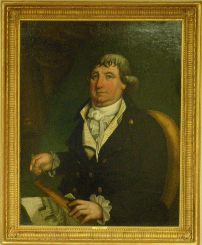
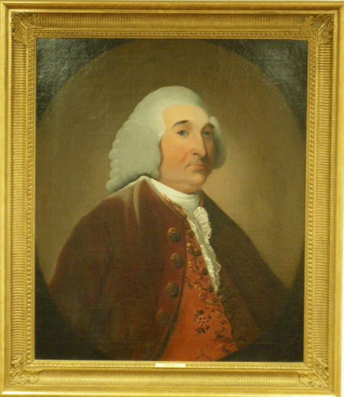
Oil portraits of Annandale Estates surveyor James Tait (1758-1774), below, and estate factor Joseph Udny (1802), above – two of the surveyors who drew maps of the local area in the 18th century (images courtesy of Annandale Estates)